

Quick Answer
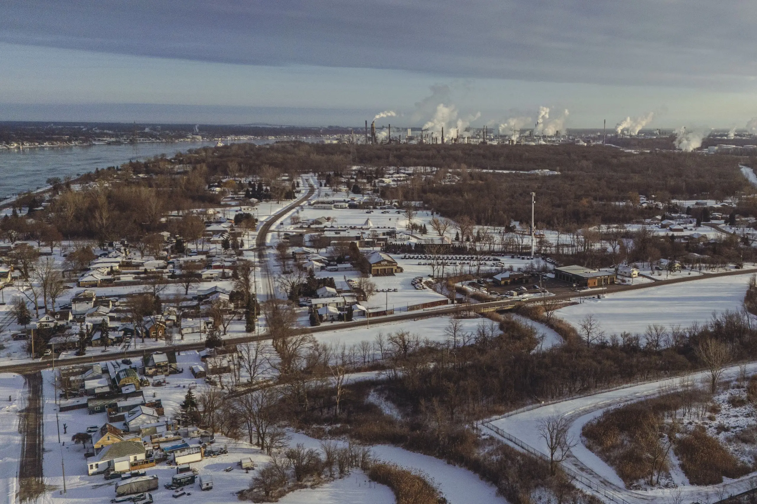
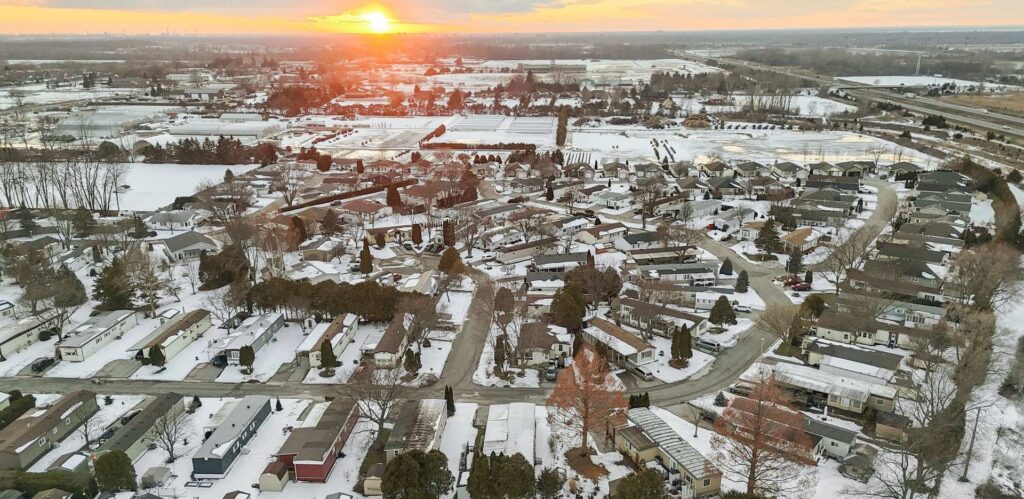
It’s already November and Sarnia hasn’t seen any snow yet. Based on weather history and early-season forecasts, the most likely week for the first measurable snowfall is November 10–16, 2025. It could come earlier or later, but if you need one clear answer—plan for that week.
Why This is the Best Estimate
- Sarnia usually sees its first snow sometime in late October or early November.
- Since it’s already November 1 with no snow, the timeline shifts toward early to mid-November.
- Past data shows snow that arrives after November 10 is often the first “real” snowfall that sticks or needs plowing.
- Early November cold fronts and lake-effect bands from Lake Huron tend to begin around this time.
- Forecast models and historical averages point to November 10–16 as the most realistic and useful prediction.
First Snowfall History in Sarnia
| Winter Season | First Measurable Snow | Notes |
|---|---|---|
| 2024–25 | October 29 | Light snowfall, melted same day |
| 2023–24 | November 8 | First sticking snowfall |
| 2022–23 | November 13 | Required shoveling/clearing |
| 2021–22 | November 5 | Brief, light accumulation |
| Earliest Ever Recorded | October 2, 1974 | Extreme outlier |
| Latest Ever Recorded | December 9, 1998 | Very rare |
Source: ExtremeWeatherWatch — historical Sarnia snowfall records
What Counts as the “First Snow”?
For this blog, “first snowfall” means measurable snow that sticks or needs clearing, not just flurries that melt right away.
Expected Weather Pattern for November 2025
- Forecasters are calling for a weak La Niña, which often brings colder air and more active storm tracks across the Great Lakes.
- Lake Huron is still warm enough to produce lake-effect snow once cold winds arrive.
- Temperatures are expected to drop below freezing overnight by mid-November—perfect setup for the first real snowfall.
What Homeowners Should Do Now
- Book snow removal services to start by November 10.
- Clear leaves and debris from driveways and walkways now—before they freeze under snow.
- Stock up on salt, ice melt, and shovels.
- If using a seasonal snow contract, make sure it activates by early November.
Signs Snow is Just Days Away
Watch for these common signals:
- Daytime highs dropping to 3°C or lower
- Night temperatures below freezing
- Cold northwest wind coming off Lake Huron
- Rain turning into wet flurries at night
- Weather alerts mentioning “lake-effect snow”
Final Word
If you’re waiting for the first real snowfall in Sarnia—expect it around November 10–16, 2025. It could come a few days sooner or later, but that is the most likely week based on local weather history, La Niña patterns, and early forecasts. If you want your driveway clear and contracts active on time—prepare now.
Sources
ExtremeWeatherWatch – First Snowfall Records for Sarnia
https://www.extremeweatherwatch.com/cities/sarnia/early-late-snow
Weather-Atlas – Sarnia Snowfall and Climate Data
https://www.weather-atlas.com/en/canada/sarnia-climate
WeatherSpark – Sarnia Fall Weather Averages
https://weatherspark.com/s/17373/Average-Weather-in-Sarnia
NOAA Climate Prediction Center – ENSO Outlook
https://www.cpc.ncep.noaa.gov